Crossing the Nullarbor: Two Days of Arithmetic
There is a version of the Nullarbor in which it is a sightseeing problem: a list of lookouts, a cliff, a golf hole on a roadhouse lawn. That version exists, and it is not wrong, but it is not what decides whether the crossing goes well. The crossing is arithmetic. How far to the next fuel, how many hours of daylight, how much of the day you personally can still drive safely, and whether the food in your fridge is allowed over the border.
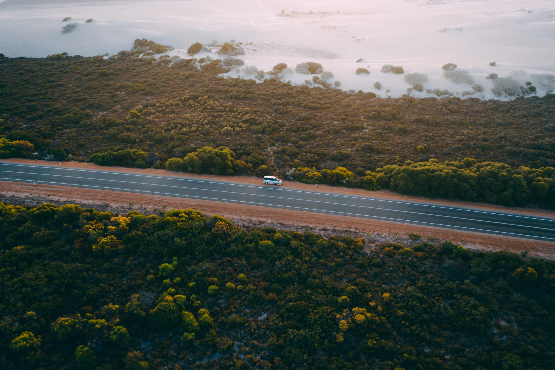
Why this is not a sightseeing article
Tourism Western Australia puts the Eyre Highway at 1,675 kilometres between Port Augusta and Norseman, with the longest straight stretch of road in the world at about 146 kilometres without a bend. Those two numbers set the character of the drive. No list of attractions prepares you for a hundred and forty-six kilometres in which the steering wheel does not move.
The stretch people mean by "the Nullarbor" is shorter: roughly Norseman to Ceduna, across the plain itself, with no towns between. Everything either side is approach, and the approach holds the towns, the supermarkets and the last chance to change your mind.
Treat it as three questions in order. How many days the crossing takes. Where the fuel and food are. And what you do when either answer differs on the day.
The two directions are not the same drive
Both directions cross the same plain, and the choice is usually made by where the trip starts rather than by preference. But the asymmetry is real and worth thinking about before you book a one-way.
| Westbound, Adelaide to Perth | Eastbound, Perth to Adelaide | |
|---|---|---|
| The long approach | Port Augusta to Ceduna, with towns and services | Norseman to Perth, through the goldfields and the wheatbelt |
| The border | The WA quarantine checkpoint, 24 hours, at Eucla | The South Australian checkpoint near Ceduna |
| Where the treeless section falls | Late in the trip, when you are already tired | Early, before the rhythm is established |
| The clock | Loses time heading west, gains it heading east | Gains time heading east |
| The light | Afternoon sun in your face on the westward run | Morning sun in your face on the eastward run |
What differs between the two directions
The clock row is not a joke. South Australia and Western Australia keep different clocks, and the change lands somewhere in the middle of the drive rather than at a border gate you can see. On a day measured in daylight hours that is a planning input, not a curiosity confirm how the change applies to your dates with the state authorities.
Fuel and food: the only spacing that matters
Between Norseman and Ceduna there are no towns, only roadhouses spaced unevenly, with hours that are not guaranteed and fuel that is not guaranteed to be there. This is the commonest way a Nullarbor plan fails: not a breakdown, but an assumption about a bowser.
- Carry more fuel range than the map requires, and treat a closed roadhouse as the default rather than the exception. Main Roads WA publishes current road status; individual roadhouses publish nothing reliable, so ask at the counter.
- Buy food before the plain, not on it. Roadhouse food exists; a supermarket does not.
- Assume water is a supply you bring rather than one you find.
- Keep an offline copy of the roadhouse list, because the coverage you are relying on is the coverage that will fail.
The long straight is a fatigue problem, and fatigue is arithmetic too
Long, flat, straight roads produce a tiredness unrelated to how much sleep you had. No steering, no gear changes, no corner to prepare for, and a horizon that does not move. Drivers here lose track of time before they lose track of the vehicle, which is the dangerous order.
Two drivers change this more than any other factor, and a two-person camper suits it: one drives, one watches, and the swap happens at a roadhouse rather than at the point of exhaustion. Alone, the day is shorter by definition and the plan should say so.
The border is a food problem, not a paperwork one
Western Australia runs quarantine checkpoints on its interstate road borders, and the one on this route sits on the Eyre Highway at Eucla. The Department of Primary Industries and Regional Development states that the Eucla checkpoint operates 24 hours confirm current arrangements and the permitted-items list with DPIRD before you travel; South Australia runs its own check near Ceduna in the other direction.
The consequence for a campervan is specific, because a campervan is a kitchen. Fruit, vegetables, honey and other fresh produce are restricted, and the rules are a published list rather than a principle, with permitted items that move during an outbreak the current list is published by DPIRD. A receipt does not make an item allowed.
So the fridge should be near empty approaching the border and the shopping happens after it. Instead of an interruption, the checkpoint becomes the restock. Read the department's own list rather than a summary, including this one.
Where you may and may not spend the night
This part is often decided badly for a simple reason: the plain looks empty, so it looks available. Land beside the highway is not public by default, and a gravel patch that has been used before is evidence of use, not permission.
Three legitimate categories exist along the route, and they behave differently.
- Roadhouse stops, where you are a customer and the night is part of the transaction. The simplest option, needing the least interpretation.
- Town caravan parks and campgrounds on the approaches at Norseman and Ceduna, where rules and prices are published by the operator. Confirm current arrangements with the park directly.
- Formal campsites in parks and reserves, managed by the parks agency of the state you are in, subject to its booking systems and entry fees. Confirm with that agency.
Not on that list: the roadside. Free camping is decided by whoever manages the land, which along a highway can mean a council, a pastoral lease or a native title body, none of them publishing a national list. If a night matters, confirm it before lunch.
The Bight, and the one detour worth timing
The Bight cliffs sit a short detour south of the highway, per Tourism Western Australia, and they are the one sight here worth giving an hour to rather than ten minutes. Time it for the ends of the day. That is partly the light and partly that a cliff top at midday in summer is a short visit for reasons that have nothing to do with scenery.
Season, and the arrival
The crossing runs year-round and the experience changes more than the road does. Summer heat shapes the day, winter brings the opposite problem at dawn and dusk, and the shoulder months are the ones most people end up preferring. The Bureau of Meteorology publishes climate records for the towns at each end.
Then it ends abruptly: off the plain into country with fences, then a town with a supermarket, and the arithmetic stops mattering. For a longer trip across the Nullarbor, compare campervan pickup in Perth and campervan pickup in Adelaide. Check current one-way availability and the complete quote before deciding your direction.
Questions people ask
- How long does it take to cross the Nullarbor?
- Allow at least two full driving days between Norseman and Ceduna, and treat three as the comfortable version. The constraint is usable daylight and how much of the day one driver can safely do on a straight road, not the kilometre count. Alone, plan for the shorter end of that.
- Is the Nullarbor boring?
- It is uneventful, which is a different thing. The road is sealed, the horizon is long and there is almost nothing to steer around. That changes what it asks of you: watch for fatigue, watch the fuel gauge, and watch for wildlife at the ends of the day.
- Can I take food across the border into Western Australia?
- Not all of it, and the rules are a published list rather than a principle. Western Australia runs quarantine checkpoints on its interstate road borders, and DPIRD states that the Eucla checkpoint on the Eyre Highway operates 24 hours. Fresh produce and honey are restricted, with conditions that change during outbreaks. Check the department's list before you shop, and restock after the border.
- Where can I sleep on the Nullarbor?
- Roadhouse stops, town caravan parks on the approaches at Norseman and Ceduna, and formal campsites managed by the parks agency of the state you are in. Roadside land is not free camping by default — it is private or leased unless someone says otherwise. Confirm the night before lunch, not at dusk.
Where these facts come from
- Tourism Western Australia — Eyre Highway
- Main Roads Western Australia — travel map and road conditions
- Department of Primary Industries and Regional Development — what can I bring into WA
- Australian Interstate Quarantine
- Parks and Wildlife Service WA — camping and park entry
- Bureau of Meteorology — climate data
Details like booking rules, fees and closures change. Check the authority above before you rely on any of it for a specific date.
Read next
- Alice Springs to Adelaide: Spacing, Roadhouses and the Turn-Back
- Darwin to Broome: Five Decisions Before the Long Middle
- Your First Road Trip in a Small Camper: What to Sort Before You Leave
- Outback Motoring: Whether the Remote Leg Belongs in Your Trip
- Great Ocean Road in a Minicamper: What a Small Van Changes